
Ways to Traverse VIT
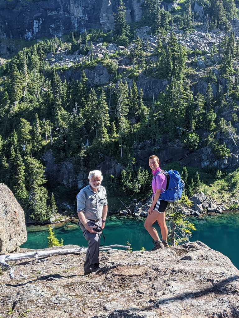
Hiking
Vancouver Island Trail is essentially a hiking trail. Trail standards vary greatly, from paved sections in urban areas, to logging roads and railroad grades several meters wide to sections merely a route without any defined trail tread. Many of the trails that form linkages between existing trails have minimal width. Maintenance by volunteers cannot always keep up with ongoing windfall, deadfall, and incursion by brush, so do not expect the smooth, defined or even surfaced trails like those in established parks. If you hike at about 3 km/hr on such trails, plan for only 1-2 km/hr on our light trails. When navigating route sections with little or no defined trail tread, plan for even slower progress.
In addition to hiking, portions of the trail can be used for trail running, snowshoeing and back-country skiing.
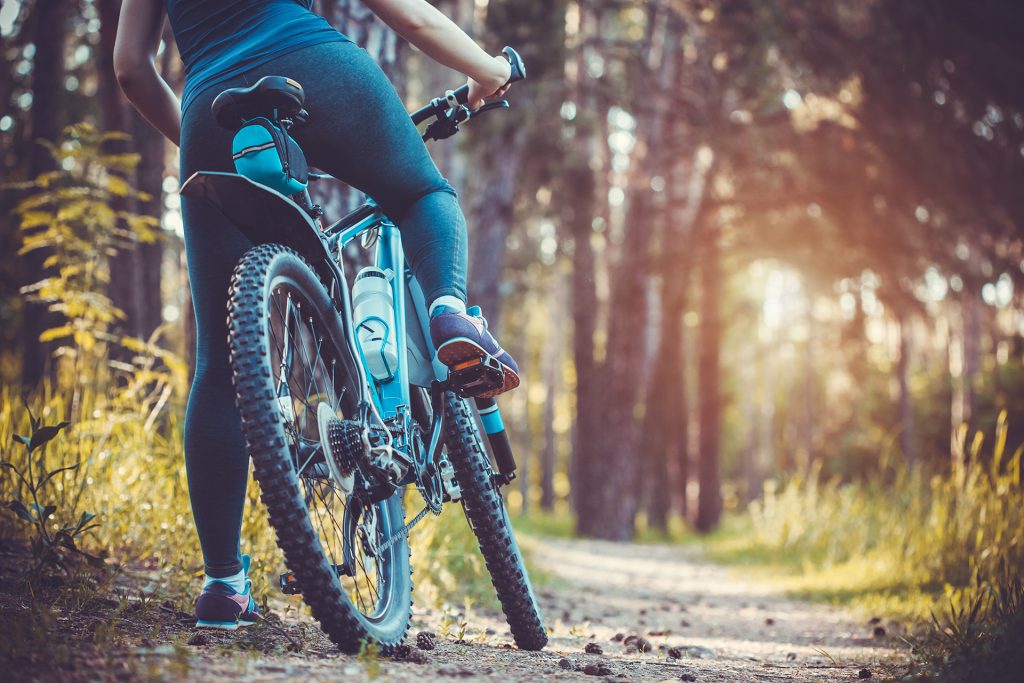
Biking
Trails suited to biking including hybrid bikes (or similar) are limited to Section 1 plus the initial road part of Section 2 as far as Kissinger Lake. Mountain bike trails on the VIT route include part of the UROC network near Cumberland and the Bear Hill mountain bike trails south of Port McNeill. Elsewhere, the mix of single track trail and logging roads renders bikes unsuitable.
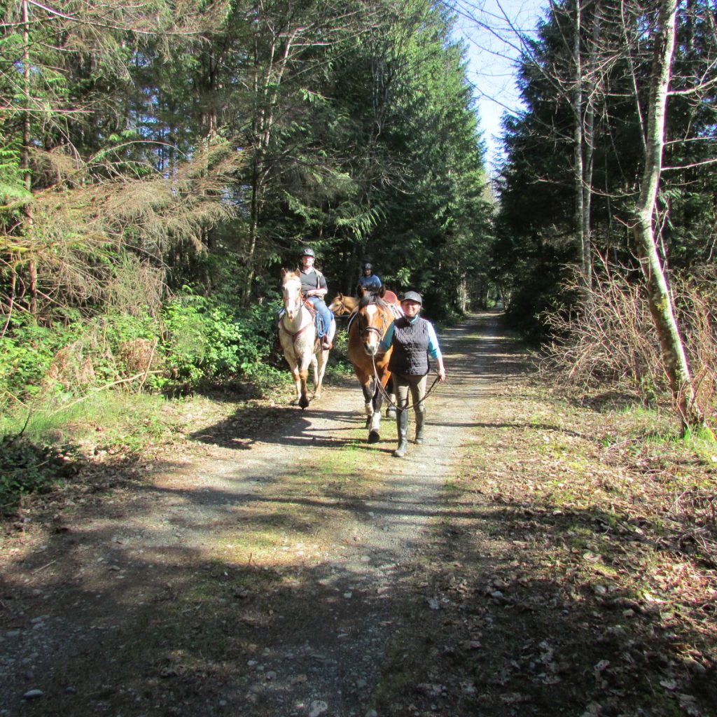
Equestrians
Suitability for equestrians is minimal, essentially just the Cowichan Valley Trail starting just south at Goldstream Heights Road through to Lake Cowichan, with the option of continuing along the TCT towards Nanaimo. Although physically suitable, restrictions on horses in the vicinity of the Victoria watershed render Section 1 unsuitable. Horses are not permitted in Provincial Parks on Vancouver Island.
BC AdventureSmart Summer Series 2024 | Thru-Hiking with Clara Hughes
Clara Hughes, the only athlete in history to win multiple medals at summer and winter Olympic Games is our very special guest! Follow her as she leads us through the 800km (500mi) Vancouver Island Trail.