
Section 2: Lake Cowichan to Port Alberni
Cycling 34 km only
Length: 115 km
Elevation: Sea-level to 455 metres
Total Ascent/descent: 4,090 / 4,180 metres
Proportion: 64% trail and 36% road
Status: Open with all required agreements in place.
Trail standard: Single track trail all well defined. Mostly with 75 cm gravel tread and some with 50 cm forest floor tread.
Difficulty: Easy to moderate (rooty). Several short and one longer steep section. Nitinat and Franklin Rivers must be forded.
Character:
- Near the shorelines of Cowichan Lake and Alberni Inlet there is a combination of valley and hilly trail.
- Virtually all this section is through managed forests with a wide range of stand ages including recent cutblocks, plantation forest of various ages and younger to older immature forest of both the moist and wet western hemlock subzones. Much of the trail is located within reserved second growth forest.
Facilities: One commercial campsite (China Creek) and several informal sites. Water sources readily available from several lakes and at multiple stream and river crossings.
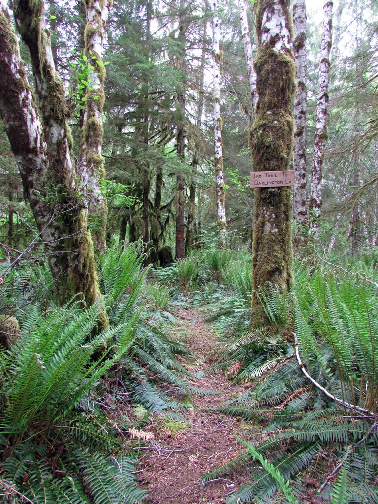
Short Description: From Lake Cowichan town, the VIT follows paved highway and gravel logging roads through Youbou past Kissinger Lake campsite, and then around into the Nitinat River valley. A mix of single track trail and logging road with a ford at the Nitinat River which takes the hiker past Tuck Lake then over a divide into the Nadira area. Then past Francis and Darlington Lakes (now on the Runners Trail) and past the former Franklin logging camp westwards to near Alberni Inlet. The Alberni Inlet Trail largely follows the old CNPR railway grade above and right on Alberni Inlet to the outskirts of Port Alberni.
Highlights & Lowlights: Cowichan Lake (views, beaches, campsites), Nitinat River, Emerald Pool, Francis Lake, Alberni Inlet (views, pocket beaches and railway trestle remains). Logging roads along Cowichan Lake are often very dusty in summer.


