• Skip to main content
  • Skip to header right navigation
  • Skip to site footer
Vancouver Island Trail

Vancouver Island Trail

Endless Adventure Awaits

  • THE TRAIL
    • About the VIT
    • Ways to Traverse VIT
    • Trail Conditions & Safety
    • FAQs
    • Register your hike
  • SECTIONS
    • Sections Overview
    • Sections Step-by-Step
  • MAPS
    • Interactive Map
    • Planning Maps
    • Corridor Maps
    • Trail Amenities
    • First Peoples’ Map
  • GET INVOLVED
    • Volunteer
    • Partners
    • Donate
  • NEWS
    • Stories
    • Media Room
  • ABOUT
    • About Us
    • Vision, Mission & Values
    • Board of Directors
    • President’s Report
    • Contact Us
  • DONATE

Sections step-by-step

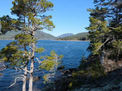
Vancouver Island Trail is made up of 7 Sections. Each section can be hiked in about a week.  Experienced hikers complete the nearly 800km thru-hike in 1-2 months.

The Section descriptions below are ordered south to north.

GPS tracks can be downloaded section by section or by subsections. The Section downloads can be imported into Gaia (or similar) applications – many VIT hikers prefer Gaia. It presents a georeferenced map that allows you to check your position/location in real-time using cell-phone GPS.

Subsection downloads are followed by a small map that allows you to view the GPS tracks and waypoints (zoom and pan as desired). You can choose between two different basemaps or a satellite image (click icon in upper right to select). The ‘Thunderforest’ basemap includes contours. Note that on the elevation profiles, vertical exaggeration varies but is always substantial.

If you wish to have a copy of the descriptions along with you during your hike, highlight the content, ‘print’ and save to pdf on your cell phone.

Section 1: Anderson Hill trailhead (Victoria) to Lake Cowichan

Anderson Hill trailhead sign

Anderson Hill to Humpback Reservoir

Malahat Goldstream Bridge

Sooke Hills Wilderness Trail

The Kinsol Trestle, part of an old railway incorporated into the trail.

Cowichan Valley Trail

Download Section 1 gpx track

Section 2: Lake Cowichan to Port Alberni

Ohtaki Park sign with person on bridge in background

Cowichan Lake

Nitinat River Ford, clear water with gravel beach

Tuck Lake Trail

Darlington Lake directional sign on tree

Runners Trail

view of Alberni Inlet towards Bell's Bay

Alberni Inlet Trail

Download Section 2 gpx track

Section 3: Port Alberni to Cumberland

Port Alberni Perimeter Trail & Log Train Trail

hikers at the top of a rocky mountain

The Beauforts

Download Section 3 gpx track

Section 4: Cumberland to Strathcona Dam

2 hikers, Katrine and Sean at sitting on rock at Jultland Junction

Cumberland to Strathcona Park

Strathcona Park Trails

Stephen Stirling and Carly W standing above Lost Pole Lake

Strathcona Park Boundary – Pearl Lake – Mt. Adrian – Rogers Ridge – Lupin Trails

Download Section 4 gpx track

Section 5: Strathcona Dam to Woss

White Watchtower Nov 2022, winter stream with mountain in background

Salmon – White – Davie River Section

Schoen Lake Campsite sign

Kokummi Pass to Woss

Download Section 5 gpx track

Section 6: Woss to Port McNeill

Davie red cedars

Woss to Port McNeill

Download Section 6 gpx track

Section 7: Port McNeill to Cape Scott

Commuter Trail sign

Suquash Trail

Suquash sea stack

Port Hardy to Shushartie Bay

Suquash beach with large rock in foreground

North Coast Trail

Download Section 7 gpx track