
Section 6: Woss to Port McNeill
Length: 70 km
Elevation: 30 to 250 metres
Total Ascent/descent: 1,030 / 1,120 metres
Proportion: 7% trail, 93% road and rail grade
Status: The route follows abandoned rail grade and existing roads within the traditional territory of the ‘Namgis First Nation. Although ‘Namgis advise they do not object to hikers passing through their unceded lands, they do not at this time have the capacity to consider establishment of a formal trail, therefore no signage or trail markers within this section.
Trail standard: The first 55 km is 3m wide, gravel rail grade with the remainder a mix of well-defined single-track trail interspersed with sections of logging roads, both inactive and active.
Difficulty: Gentle grades throughout.
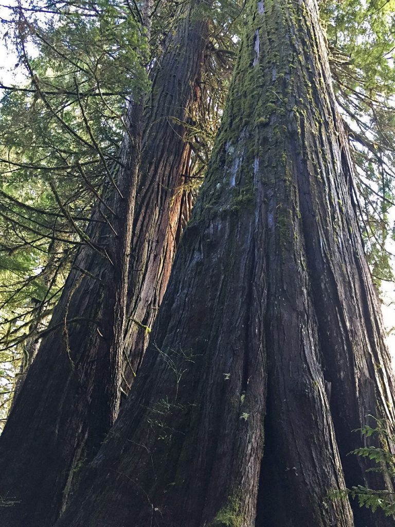
Character: Valley and lowland route through managed forest lands.
Facilities: Hikers mostly bivouac on or adjacent to the route where water is near. An informal, vehicle access campsite is located on the north beach of Nimpkish Lake. Near Port McNeill, the Broughton Straight campground is close to town. The campground and cabin rentals at the Cluxewe River mouth is just 9 km along Section 7. Water sources are few and far between on the rail grade and the major creeks are crossed by high trestle bridges so that getting down to access them is difficult, often not feasible.
Short Description: Most of this section follows the old Englewood logging railway grade within the managed forests (TFL) of the Nimpkish valley, followed by variously active, inactive and grown-in logging roads and mountain bike trails towards Port McNeill.
Highlights & Lowlights: High trestles along the rail-grade and the north Nimpkish Lake beach. The old rail grade does not provide much diversity apart from periodic views across the valley and feels rather disconnected from the surrounding landscape.


