
Section 1: Anderson Hill (Victoria) to Lake Cowichan
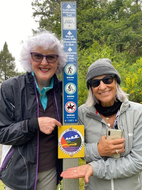
Horses on Cowichan Valley Trail only
Length: 104 km
Elevation: Sea level to 460 metres
Total Ascent/descent: 1,850 / 1,730 metres
Proportion: 95% trail and 5% road
Status: Open with all required agreements in place
Trail standard: All high standard, paved or gravel, 2-4 m wide
Difficulty: Easy, no steeps, all watercourses are bridged
Character: Lowlands and hilly to Glenora. A valley trail to Lake Cowichan. Urban-residential to Humpback Reservoir, then forested in parklands and managed forests.
Facilities: Comprehensive in Victoria area. One developed campsite at Goldstream otherwise informal camps on or just off the trail. Water sources at Goldstream and Koksilah Rivers, at Glenora Trails Head Park and just off Cowichan riverside trails.
Short Description: The Trail starts in a largely undisturbed Garry Oak meadow in Anderson Hill Park and then follows a mix of urban roads and trails through several Capital Region communities to the Humpback Reservoir. From Humpback to the CRD/CVRD boundary, the VIT follows the Sooke Hills Wilderness Trail through managed forest lands of the dry western Hemlock subzone with young and immature stands and 1-2 pockets of old-growth forest. The VIT then follows the Cowichan Valley Trail through similar forests to Lake Cowichan town, with a substantial section of older immature forest within Cowichan River Provincial Park and a section through farmlands and pastures in the vicinity of Glenora to the west of Duncan.
Highlights & Lowlights: Anderson Hill Park, Parliament Buildings, Victoria’s Inner Harbor, Goldstream Bridge, views from Warwick Range over the Malahat, Kinsol Trestle and several smaller trestle bridges, Marie Canyon and Skutz Falls. But with some long sections without much change in scenery.
Updated: May 2023


")